Exploring Bobcat Ridge Trails in Bobcat Ridge Natural Area
Exploring Bobcat Ridge Trails in Bobcat Ridge Natural Area
Introductory Overview
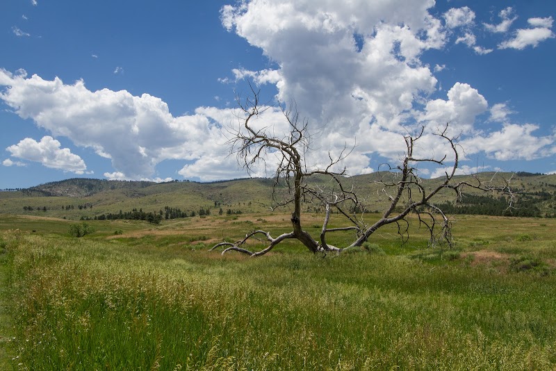
Located a short distance from Fort Collins, Colorado, Bobcat Ridge Natural Area offers a rich network of trails showcasing the scenic transition from prairie to foothills. Known for its diverse ecosystems and striking rock formations, this natural area provides a unique blend of wildlife, geology, and outdoor recreation opportunities. The area’s trails range from beginner-friendly paths to more challenging routes, making it a favorite destination for hikers seeking variety and panoramic views.
Adventure Guide to Exploring Bobcat Ridge Trails
-
Valley Loop Trail
This moderate 4.3-mile loop is perfect for families or casual hikers. It gently weaves through open meadows and offers spectacular views of the surrounding foothills. Look out for interpretive signs along the route that highlight local plant and animal life. This trail also provides a great opportunity for wildlife spotting, including deer, turkeys, and the occasional bobcat.
Key features: Well-marked trail, scenic bridges, and educational signage. -
Ginny Trail
Stretching 7.3 miles one-way, this trail is popular among experienced hikers and mountain bikers. Ascending into the foothills, it offers a challenging climb with rewarding vistas of the Front Range. Large granite formations dot the landscape, and springtime adds bursts of colorful wildflowers along the route.
Key features: Challenging terrain, sweeping views, and quiet serenity away from busier trailheads. -
D.R. Trail
This intermediate option runs 4 miles and connects the valley floor to higher terrain, offering a balance of climbing and views. Highlights include shaded sections under towering Ponderosa pines and rocky outcrops with resting spots to soak in the scenery.
Key features: Partial shade, steady incline, and fewer crowds compared to other trails.
Local Insights
Bobcat Ridge lies on land historically significant to Native American tribes who valued it for hunting and gathering. More recently, it served as a cattle grazing area before being preserved for public enjoyment.
Visitor Tips
- Best times to visit: Spring and fall offer mild temperatures and vibrant colors.
- What to bring: Sturdy boots, sun protection, water, and a map.
- Directions: From Fort Collins, take Harmony Road west, turn left on Taft Hill Road, and follow signs. Approx. 20-minute drive.
Adventure Map
Reviews
Related Posts